Online maps

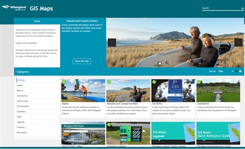
View our online GIS maps to find information about your property including hazards and the District Plan, as well as the locations of cemeteries, playgrounds, sports fields, other recreational facilities and your Council electoral ward.
View our online GIS Maps
What's happening in your area
Discover what's happening in and around your area such as events, roadworks and closures, projects, notified resource consents.
My area map
Spatial data / layers for GIS professionals
Council data
For professionals wanting to access and use our spatial data / GIS REST services follow the link below.
Council spatial data / GIS REST services (geo.wdc.govt.nz)
Using ArcGIS REST services in ArcPRO (pro.arcgis.com)
Using ArcGIS REST services in ArcGIS Online (doc.arcgis.com)
Using ArcGIS REST services in QGIS (docs.qgis.org)
Using ArcGIS REST services in AutoCAD (autodesk.com)
Download Council asset data in CAD DWG format (arcgis.com)
LIDAR / contours
For professionals wanting to access and use LIDAR / contours, please contact the Northland Regional Council or view their Open Data Contour datasets.
Northland Regional Council open data contour datasets (nrcgis.opendata.arcgis.com)
Other data
For data such as land boundaries, visit LINZ Data Service. From here you can also download in other formats like cad, .dwg format.
LINZ Data Service (data.linz.govt.nz)
Note: If you are looking for mapping information from other utility service providers, such as fibre / power lines, please contact the relevant utility service provider.
Requests
You can log an online request for help with the following:
- issues with our GIS Maps viewer application
- mapping requests of our data
- other Council data related enquiries
Log a GIS or data request
GIS and data requests will only be looked at during working hours.